
| Bruny Island
| 
|
 |
 |
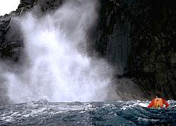 |
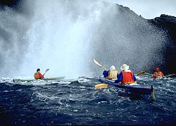
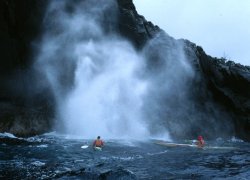
| Blowhole, SE Bruny |
|
|
 |
 |
 |
| Cloudy Bay |
View SE from Lighthouse |
| 
|
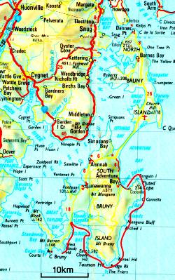
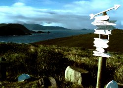
| Map of the area |
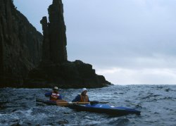
Bridge Rock, Tasman Head |
Courts Island |
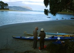
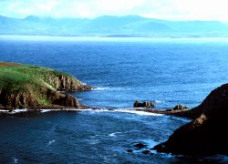
Bruny Island is an example of a tied island. Like Maria Island it is two islands joined together by a sand spit. The southern part of Bruny Island is the most interesting. From Adventure Bay, where Captain Cook landed to take on water, the coast is rugged with high cliffs. Some spectacular blowholes can be seen on the south eastern side. The trip to Cloudy Bay is worthwhile, cliffs, sheltered inlets and good campsites are part of this trip. The southern part of the island is often exposed to big swells and strong winds but if the weather is good make an effort to have a look at the lighthouse on Cape Bruny. In rough weather you can always paddle the inside passage of D' Entrecasteaux Channel. There are lots of interesting inlets on the western shores of this Channel. Roaring 40�s Ocean Kayaking conduct many sea kayaking trips in this area and have sea kayaks for hire.
 Return to title page
 Return to start part 2